

DJI Zenmuse P1 – Full-frame camera for professional photogrammetry
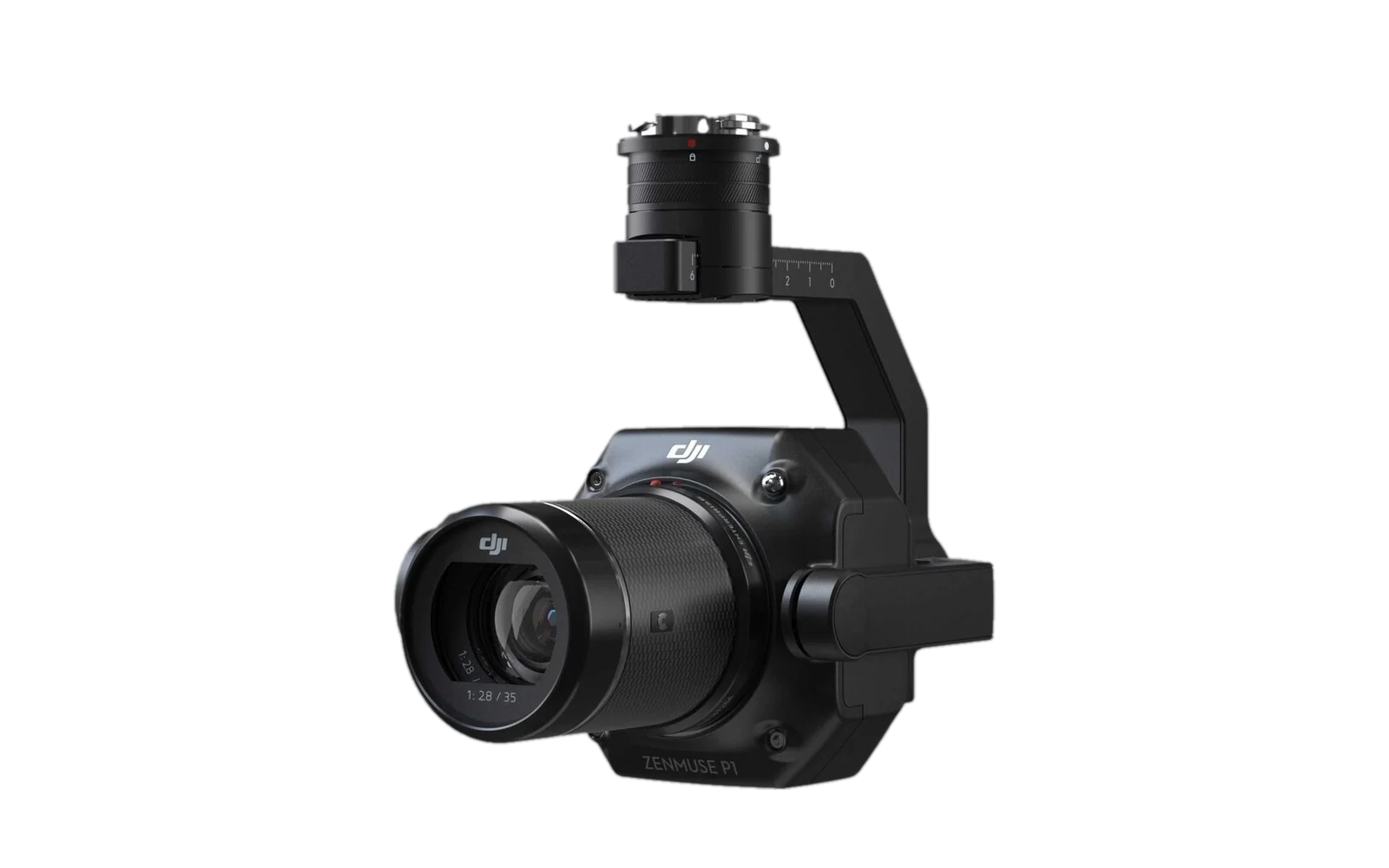
The DJI Zenmuse P1 is a 45-megapixel full-frame camera with interchangeable fixed focal length lenses on a 3-axis stabilised gimbal. It was developed for photogrammetry flight missions and sets new standards in efficiency and accuracy. trenderia supports you from evaluation through to productive use in the field, including configuration, software, training and support.
- For surveying, topography, cadastral surveys and infrastructure capture
- For construction projects, urban planning, geology and heritage conservation
- With 45 MP full-frame sensor and 3 cm accuracy without ground control points
- Compatible with DJI Matrice 400, Matrice 350 RTK and Matrice 300 RTK
What missions is the Zenmuse P1 designed for?
The Zenmuse P1 is suited to organisations that need centimetre-accurate survey results over large areas – with a 45 MP full-frame sensor, Smart Oblique Capture for 2D and 3D data from a single pass, and precise RTK georeferencing without ground control points. The payload is particularly strong where image quality, area coverage and dimensional accuracy are all crucial at the same time.
Typical configurations with the Zenmuse P1
The strength of the DJI Zenmuse P1 lies in the right combination of sensor, lens, platform and processing software. We configure the Zenmuse P1 to suit your mission and operational needs.
Zenmuse P1 + 35 mm for topography and cadastral surveys
For large-area surveying and cadastral projects with high efficiency, GCP-free accuracy and short flight times.Zenmuse P1 + 50 mm for detailed modelling
For detailed 3D reconstructions of buildings, infrastructure, monuments and geological structures with maximum image sharpness.Zenmuse P1 + 24 mm for Smart Oblique Capture
For fully automatic oblique image capture in urban planning, smart city and infrastructure projects, covering up to 7,5 km² per working day.Zenmuse P1 + Matrice 400 + D-RTK 3 for precision surveying
For the highest accuracy requirements with RTK support, centimetre-precise georeferencing and complete documentation.Why the Zenmuse P1 excels in professional photogrammetry
The Zenmuse P1 is suited to organisations that need centimetre-accurate survey results over large areas – with a 45 MP full-frame sensor, Smart Oblique Capture for 2D and 3D data from a single pass, and precise RTK georeferencing without ground control points. The payload is particularly strong where image quality, area coverage and dimensional accuracy are all crucial at the same time.
45 MP full-frame sensor with 4,4 μm pixel size for maximum image detail and precise modelling
3 cm horizontal and 5 cm vertical without ground control points thanks to RTK and TimeSync 2.0
3 km² per flight and up to 7,5 km² per working day for fast project delivery
0,7-second interval and global mechanical shutter for sharp, distortion-free images
Smart Oblique Capture for 2D ortho, 3D oblique imagery and detailed modelling with a single payload
Seamless integration with DJI Terra for real-time analysis and automated data processing
Frequently asked questions about the DJI Zenmuse P1
Here we answer the most important questions about compatibility, lighting modes, security, configuration and introducing the DJI Zenmuse P1 in your organisation.
Who is the DJI Zenmuse P1 suitable for?
Which drones is the Zenmuse P1 compatible with?
What accuracy does the Zenmuse P1 achieve?
Does trenderia also support demos, training and roll-out?
What is Smart Oblique Capture and what is it used for?
Request the right Zenmuse P1 solution now
Whether evaluation, demo, configuration or quote: we help you configure the DJI Zenmuse P1 to suit your drones and operational profile.