

Drones for universities and research
DJI Enterprise drone solutions support universities and research institutions with precise data capture, interdisciplinary projects and reproducible field studies.
Consulting, sales, support, training and service for universities, higher education institutions and research institutions.
Typical applications in research and higher education
Professional drone solutions deliver precise, reproducible data in research practice. What matters is the right combination of flight platform, sensors and data workflow.
Environmental and climate research from the air.
Archaeology and cultural heritage documentation.
Precision agriculture and agricultural research.
Geosciences and terrain modelling.
Ecosystem monitoring and biodiversity studies.
Infrastructure inspection for campus properties.
Disaster and risk research in the field.
Structural analysis and construction research projects.
Interdisciplinary research projects and collaborations
Drones are ideal for multi-site collaborative projects, student field studies and method comparisons. They create a shared data basis for several departments and external research partners.
Collaborative projects with research partners.
Student field projects under expert supervision.
Method comparisons and calibration studies.
Time series studies and long-term monitoring.
Drone data for field research, monitoring and teaching
Depending on the platform and sensor solution, we capture RGB, LiDAR and thermal imaging data for well-founded research results. We evaluate a solution for multispectral imaging separately. From the first field survey to publication, the result is a seamless digital workflow.
Precise geodata for field research.
Long-term monitoring and time series.
Reproducible results for publications.
How your research workflow with DJI Enterprise takes shape
STEP 1
Define research objectives, measurement concept and sensors.
STEP 2
Data capture in the field with RGB, thermal, LiDAR or multispectral.
STEP 3
Processing into orthophotos, point clouds and scientific outputs.
STEP 4
Integration into GIS, analysis and research platforms.
STEP 5
Documentation, publication and archiving of the datasets.
What makes a professional solution
For researchers and university teams, it is not enough simply to select a flight platform. What matters is a solution that fits the mission profile, the organisation, the operating logic and the operational requirements.
The solution must match the actual range of missions — from routine flights to time-critical events.
Size, structure and available resources determine which system can be operated sensibly.
Even under stress and with changing personnel, operation must remain simple and reliable.
Range, endurance and sensors must stand up to real conditions on site.
Why trenderia
When it comes to professional DJI Enterprise drone solutions, more than just the product counts. What matters is experience, an understanding of real operations, reliable support and a partner who truly understands your requirements.
Frequently asked questions about drone solutions for universities and research
Which DJI Enterprise systems are suitable for research projects?
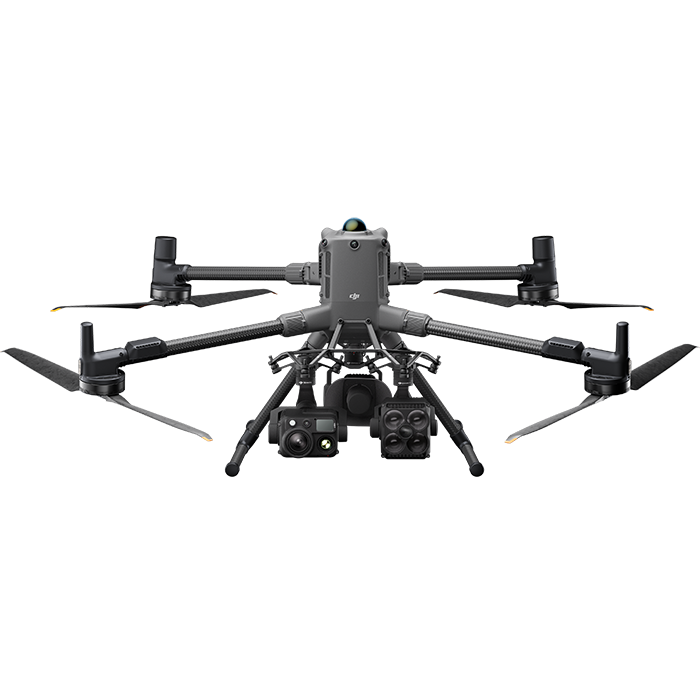
Depending on the field of research, we recommend the Matrice 4T for thermal and visual studies, the Matrice 4TD for demanding multi-sensor applications or the Matrice 400 for modular special sensors such as LiDAR. For multispectral imaging, we evaluate the platform and sensor solution separately.
How do we ensure reproducible data quality for scientific studies?
Standardised flight plans, fixed reference points and defined analysis parameters make it possible to generate reproducible datasets that meet scientific quality requirements.
Which sensors are available for multidisciplinary research?
Depending on the research objective, we configure RGB data capture with the Zenmuse P1 (45 MP full-frame sensor), LiDAR with the Zenmuse L3 or thermal imaging with the Zenmuse H30T on a compatible platform. The Zenmuse P1 is a visible-light camera, not a multispectral sensor. For multispectral imaging, we evaluate a suitable platform and sensor solution separately.
How do we train our students and researchers?
trenderia offers training for researchers and students: piloting fundamentals, mission-specific operational planning and data analysis – practical and tailored to the research topic.
How do universities procure DJI Enterprise systems?
We support higher education institutions with tenders, framework agreements and system documentation for procurement offices. On request, we prepare tailored quotes and specifications.
How do we integrate drone data into research platforms and GIS?
The output data is available in common formats such as GeoTIFF, LAS, OBJ and CSV and can be integrated into QGIS, ArcGIS, MATLAB and other research platforms.