

DJI Matrice 5T: the new compact enterprise drone for missions by day and night
5 November 2026 · News · New release
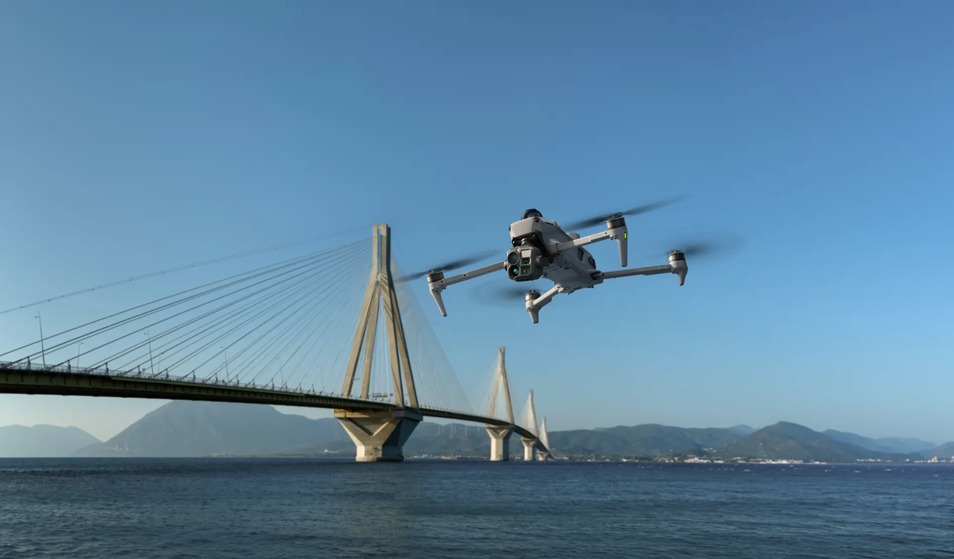
At 13:00 today DJI lifted the curtain: the DJI Matrice 5T is here. For the first time, this new compact high-end drone combines LiDAR, millimetre-wave radar and an omnidirectional vision system with a thermal camera in native 1K resolution. Add up to 59 minutes of flight time, IP55 protection and up to 40 km transmission range. Here is what the Matrice 5T can do – and who it is for.
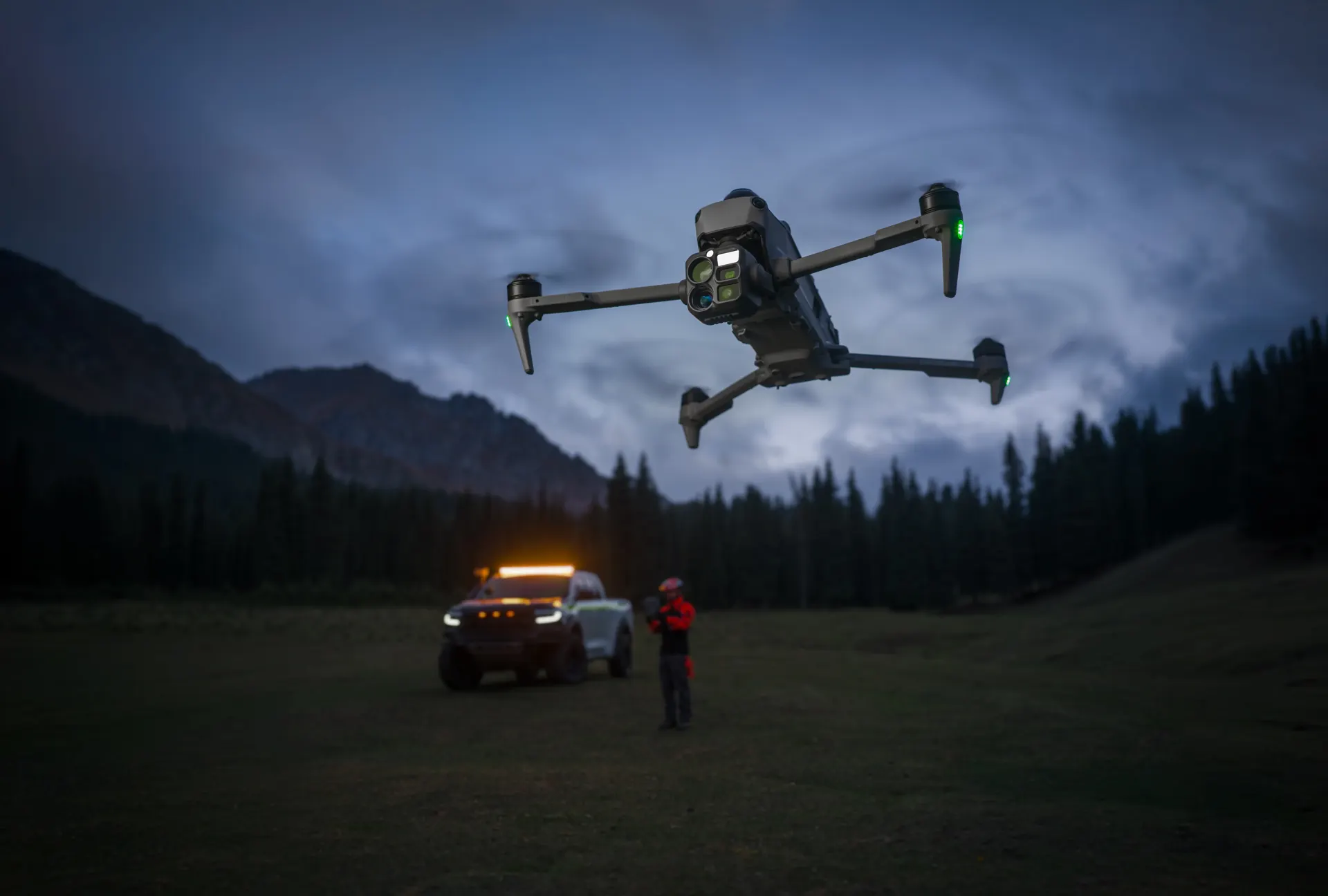
1K thermal and true night vision
At its heart is the infrared thermal camera with native 1K resolution of 1280 × 1024 pixels – four times as many pixels as common 640 × 512 sensors. With UHR enabled, resolution even rises to 2560 × 2048, so heat anomalies stand out clearly against busy backgrounds.
The wide-angle camera with a large 1/0.98-inch sensor and f/1.8 aperture delivers colour images down to 0.01 lux thanks to ISO up to 1.6 million and AI low-light optimisation. The medium tele camera (50 MP, 3× optical zoom) captures details on power lines and bridges from up to 10 m away. The tele camera with 11× optical and 176× hybrid zoom reads number plates from up to 400 m and offers monochrome night vision.
LiDAR, radar and all-round vision – even in total darkness
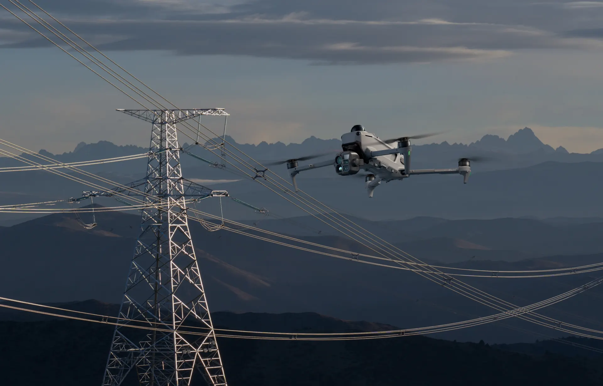
For the first time, DJI combines LiDAR, millimetre-wave radar and an omnidirectional vision system in a compact enterprise drone. At night the LiDAR detects even thin power lines up to 32 m away, while the radar works reliably in fog, rain or dust.
Full-colour fisheye sensors maintain visual positioning down to 0.5 lux, and “Vision Assist” now shows colour images. When GNSS reception weakens – in gorges or between high-rise buildings – the Matrice 5T builds a real-time map of its surroundings from vision and radar data and keeps flying smoothly and steadily.
AI on board: detect targets, plan routes
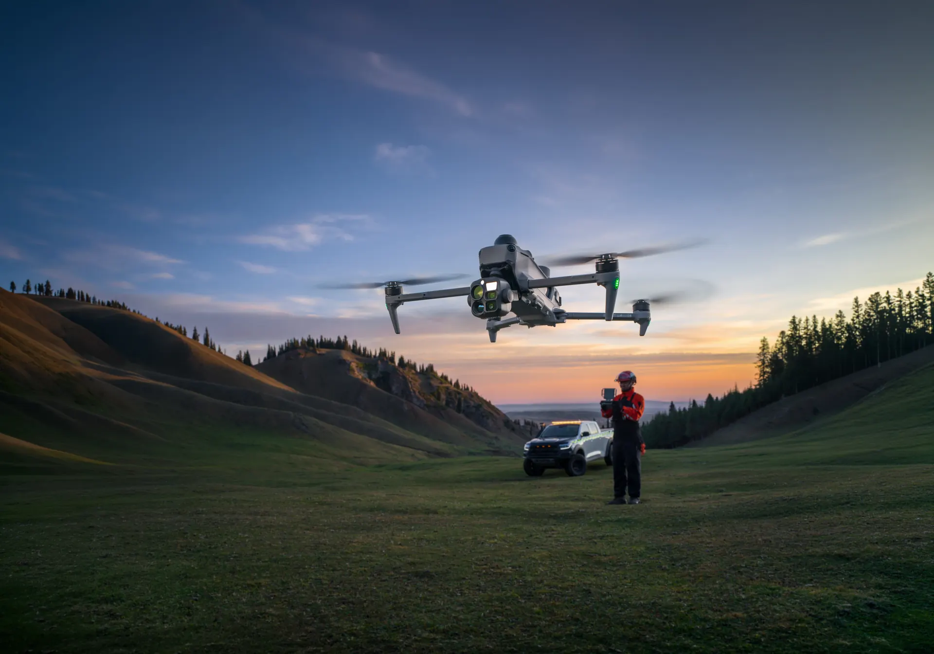
Built-in AI models analyse thermal and visible images in parallel and recognise more than 20 target types, including vehicles and vessels. With DJI FlightHub 2, pilots can search for targets in DJI Pilot 2 using text or image prompts.
Patrol routes are created by marking an area on the map and setting actions such as hovering, photo, video or audio announcements. The open onboard computing also runs third-party models – including your own algorithms.
O4 Enterprise: up to 40 km range
The enhanced O4 Enterprise video transmission system reaches up to 40 km – up from 25 km in the previous generation. Adaptive multi-band switching helps against urban interference, and two built-in DJI Cellular Dongle 2 modules automatically switch to the best network.
Smart Relay and various relay topologies overcome signal blockage in complex terrain – with a single drone or with several.
Centimetre-level surveying – without ground control points
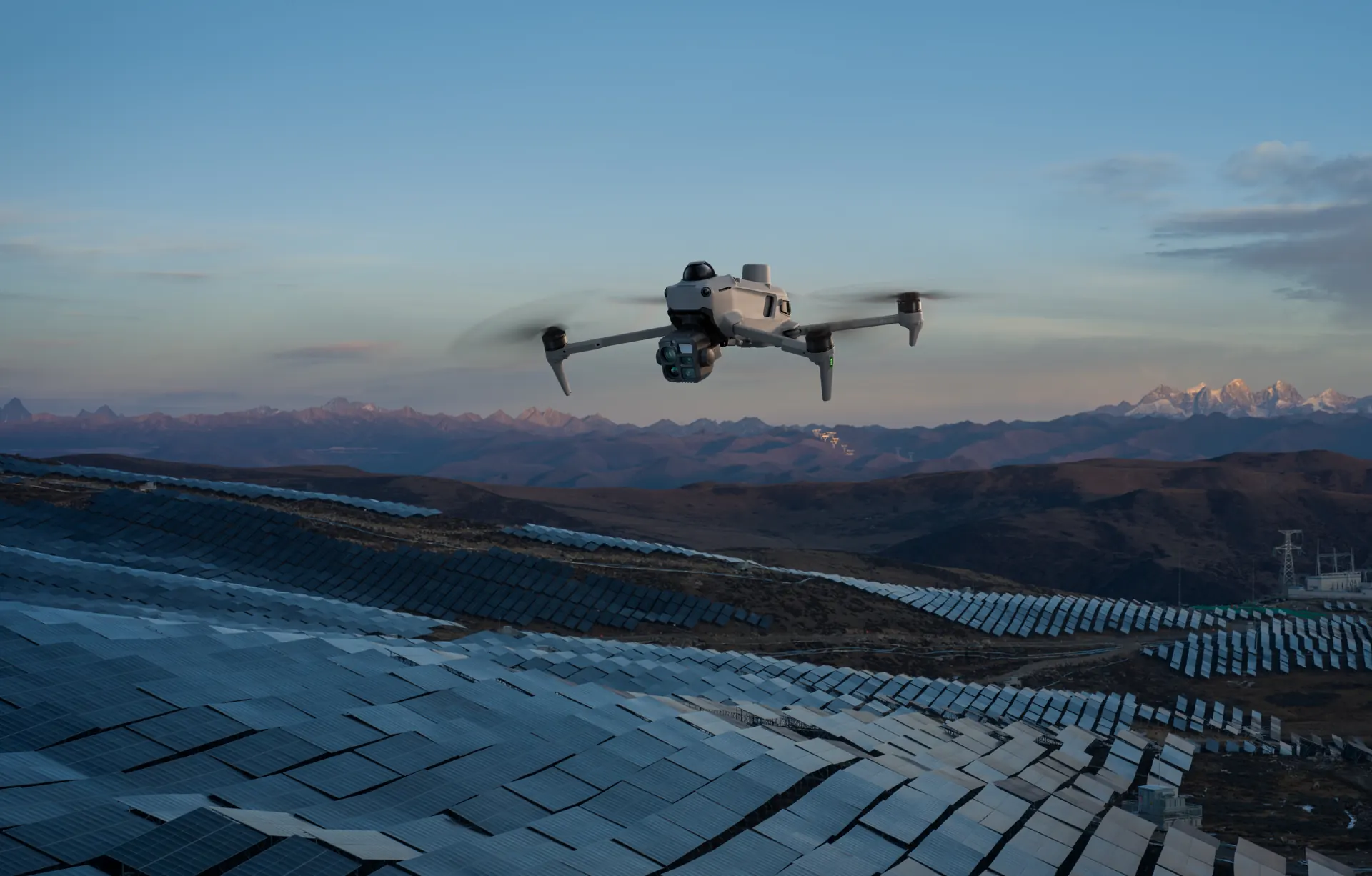
Combined with DJI Terra, the Matrice 5T achieves centimetre-level surveying accuracy without ground control points (GCPs). Thermal images can be stitched into 2D thermal maps, temperatures read out and anomalies marked – ideal for large solar plants and power grids.
During the flight, the remote controller processes 200 photos in about 8 minutes into local point clouds or 2.5D models. A single flight produces a rough 3D model from which the drone automatically plans routes that follow the object’s surface.
For public safety, inspection, surveying and the sea
Rescue and public safety
1K thermal, night vision and AI target detection support search and rescue, fire reconnaissance and situational awareness – around the clock.
Power grid and infrastructure
The top-mounted LiDAR detects conductors and ground wires and enables side-on flight along the line to spot broken strands or foreign objects.
Surveying and solar
Centimetre-accurate models without ground control points and 2D thermal maps for large-scale inspections.
Maritime missions
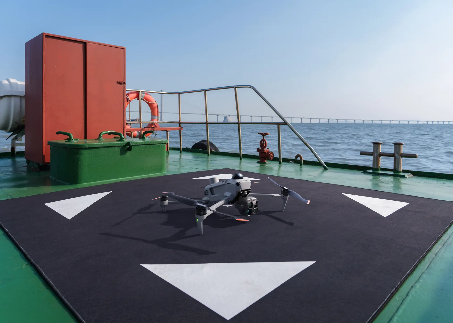
Take-off from moving ships and landing on deck thanks to recognition of the landing pattern.
Data security, FTS and warranty
Photos and videos are only shared with DJI with explicit consent. DJI FlightHub 2 is certified to ISO 27001 and ISO 27701 by the British Standards Institution, and account data is protected with AES-256 encryption. The flight termination system (FTS) – a key technical requirement for C6 compliance – stops the propellers manually or automatically when the geocaging boundary is crossed.
For day-to-day work there is DJI Care Enterprise Plus with flexible repairs, one battery replacement per year and flyaway protection, plus the official extended warranty service that adds one year of warranty.
Key specifications at a glance
| Flight time | up to 59 minutes |
|---|---|
| Protection rating | IP55 |
| Operating temperature | −20 to 50 °C |
| Thermal camera | 1280 × 1024 native, 2560 × 2048 with UHR |
| Wide-angle camera | 1/0.98-inch, f/1.8, ISO up to 1.6 million |
| Medium tele camera | 50 MP, 3× optical zoom |
| Tele camera | 11× optical, 176× hybrid zoom, monochrome night vision |
| Obstacle sensing | LiDAR (power lines up to 32 m), millimetre-wave radar, omnidirectional vision |
| Transmission | O4 Enterprise, up to 40 km, 2 × DJI Cellular Dongle 2, relay modes |
DJI manufacturer data, measured with a production model in a controlled environment.
Frequently asked questions about the DJI Matrice 5T
What is the DJI Matrice 5T?
How long does the DJI Matrice 5T fly?
Can the Matrice 5T fly in the rain?
Where can I buy the DJI Matrice 5T in Switzerland?
Available now from trenderia
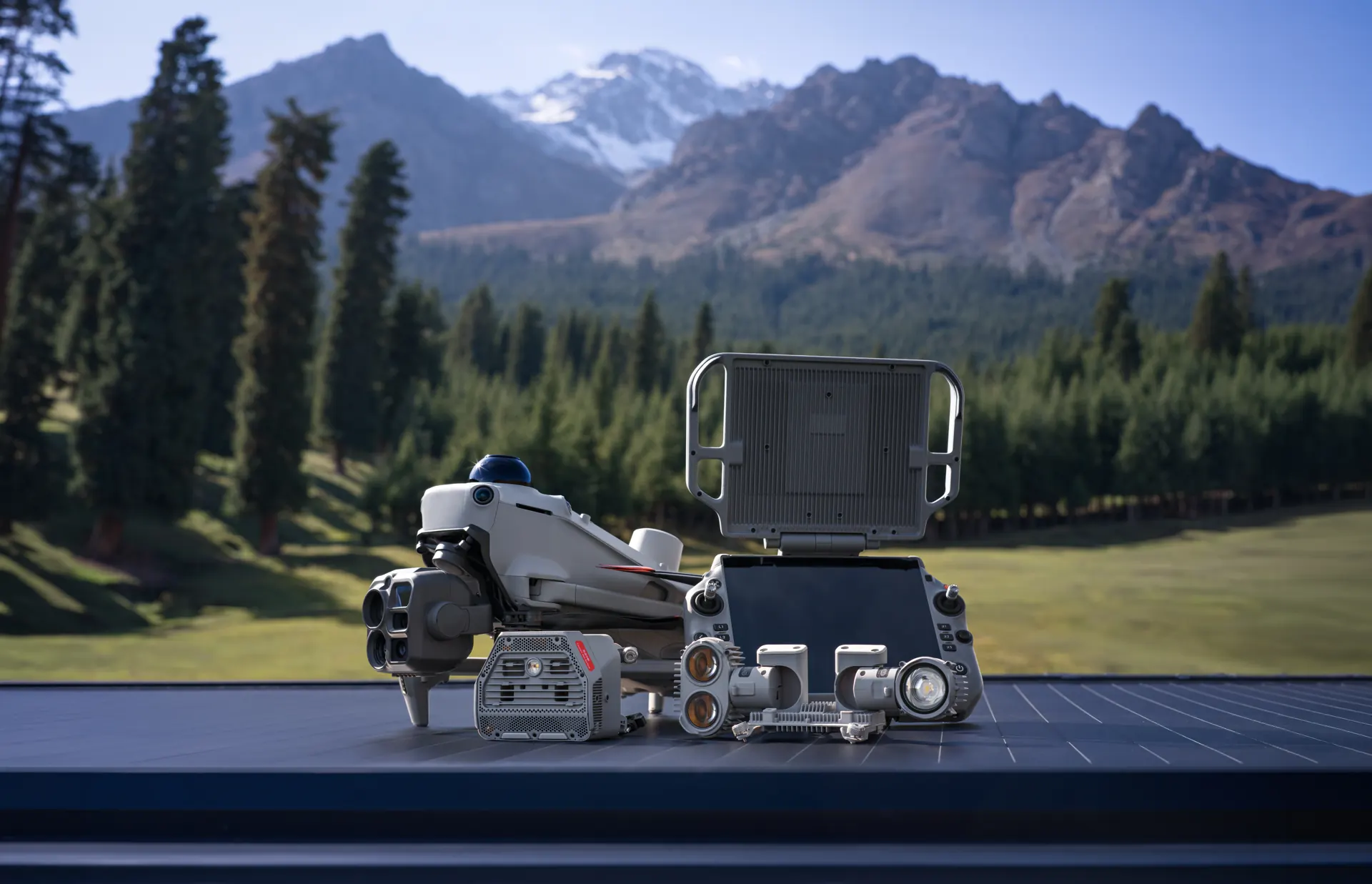
The DJI Matrice 5T is available now from authorised DJI Enterprise dealers. As a DJI Enterprise Gold Solution Partner, we advise you personally, put together the right kit and support you from evaluation and training through to operations. We are happy to show you the Matrice 5T in a live demo.
Request a quoteRequest a live demoGo to the DJI Matrice 5T product page