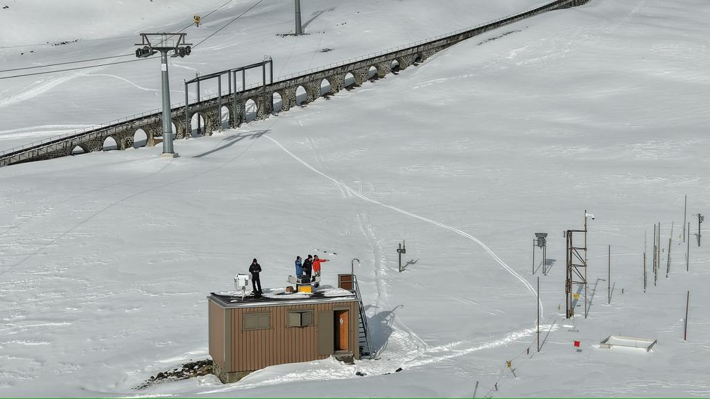
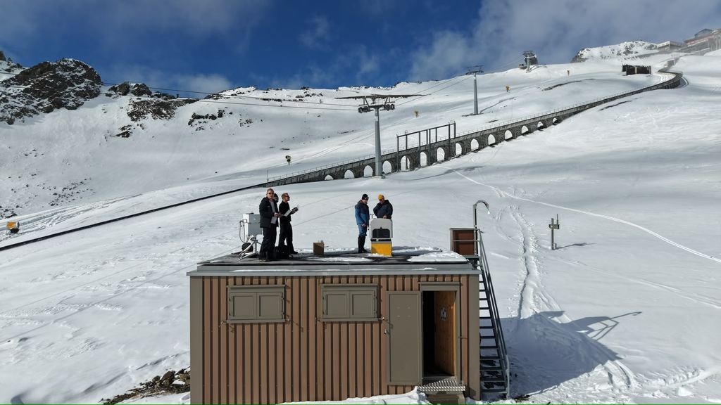
DJI Dock 3 at 2'536 m above sea level on the Weissfluhjoch (SLF)
DJI Dock 3 at 2'536 m above sea level: trenderia brings drone technology to SLF snow research
29 October 2026 · University & research · Surveying
On the Weissfluhjoch above Davos, we have installed a DJI Dock 3 for the WSL Institute for Snow and Avalanche Research SLF. At 2’536 m above sea level, the future takes concrete shape: a permanent drone station for high-alpine snow research. Barely a year after installation, a scientific evaluation of the first winter season is already available.
Being a pioneer means delivering on site
At trenderia, we have been following the development of professional drones in Switzerland since 2013. Our aim has always been the same: to turn new technology into a solution that people can work with every day. That takes experience, careful preparation and a willingness to roll up our sleeves, even in demanding conditions.
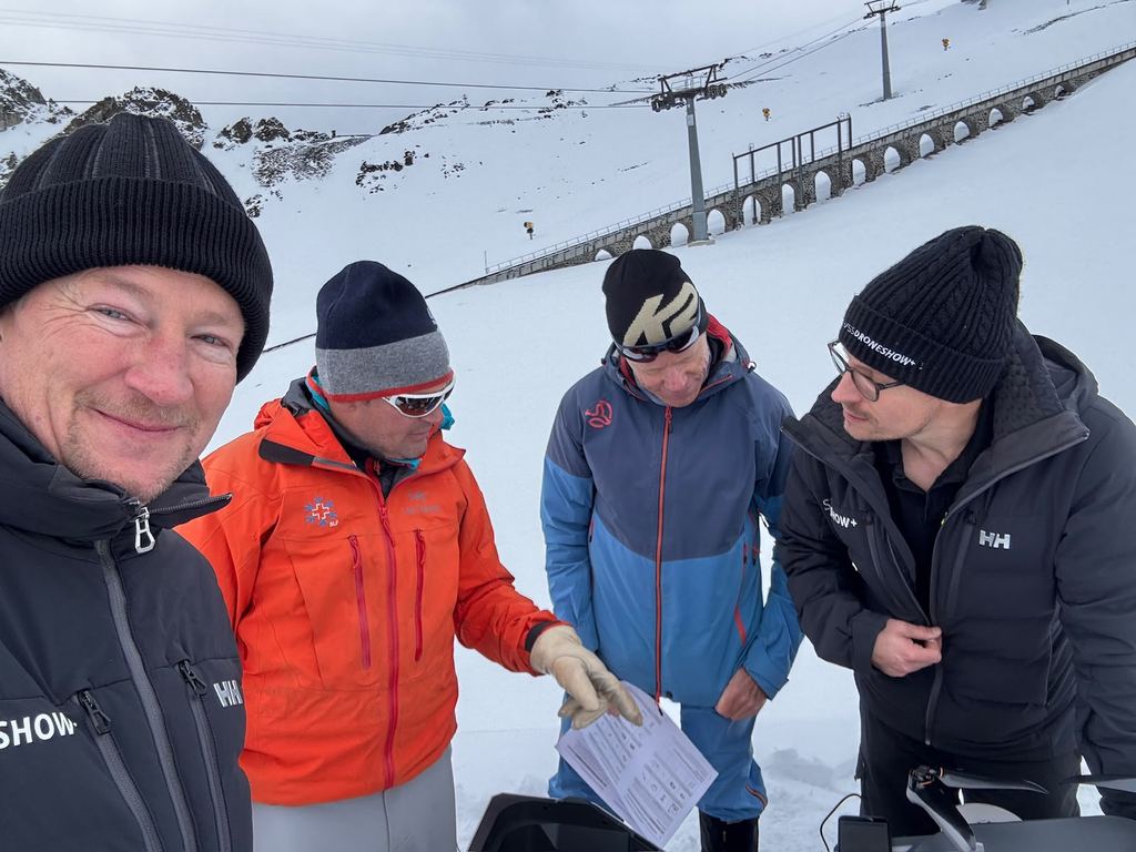
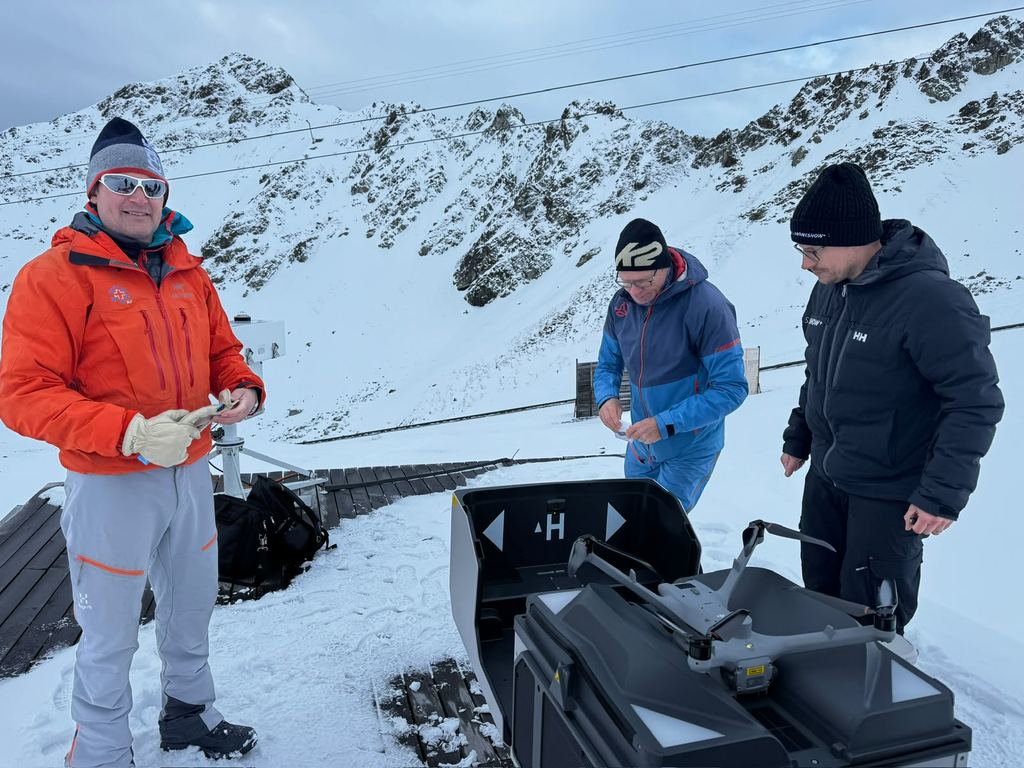
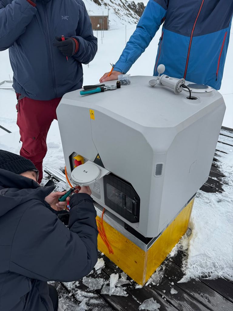
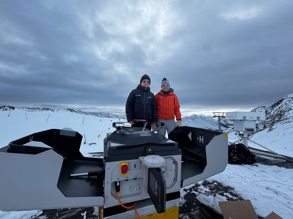
The Weissfluhjoch project sums up this approach. Together with those responsible on site, we carried out the dock installation for the SLF. The pictures show what was involved: transport and assembly in the snow, work on the roof and joint preparation of the system right in the alpine terrain.
As a DJI Enterprise Gold Solution Partner, we combine consulting, system expertise and hands-on implementation. We want to know what works out in the field – and that is exactly where we deliver our projects.
A permanent drone station in the high mountains
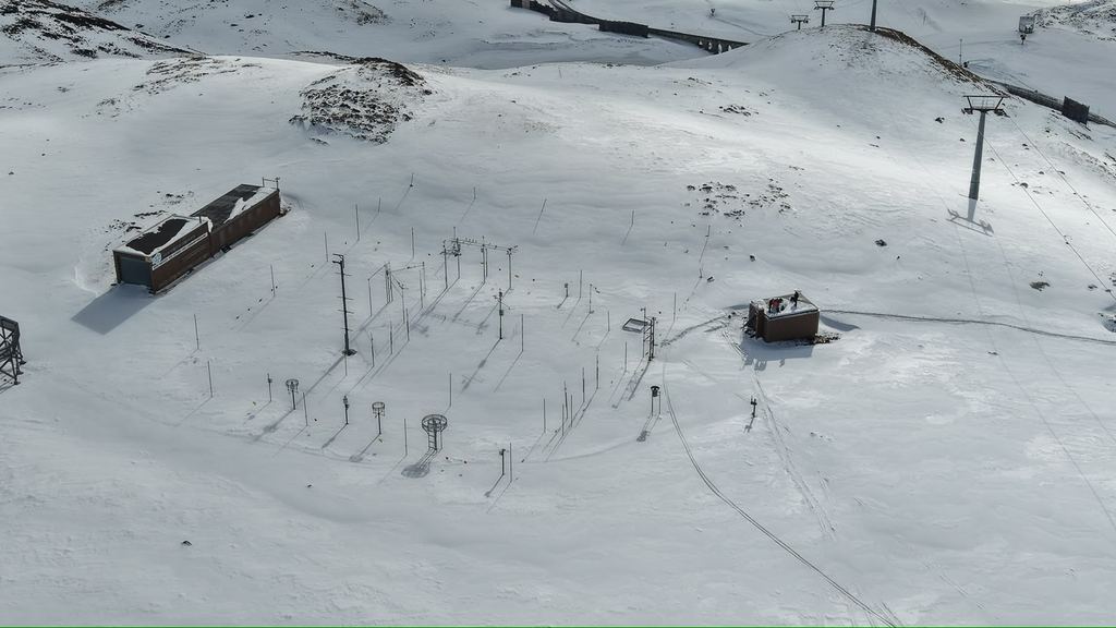
The DJI Dock 3 with a Matrice 4D was installed on the roof of a measurement hut at the end of October 2025. The site is located in the SLF Weissfluhjoch test field, where snow has been measured daily since 1936. The system complements this work with repeatable aerial imagery.
For us, this project is a strong example of how research and practical drone technology can come together. The measurement field and its alpine surroundings pose different challenges from an easily accessible installation in the valley. The implementation has to suit the site, the people and the specific measurement task.
The first winter season, scientifically evaluated
Andreas Stoffel and Yves Bühler from the SLF and CERC present the project in their paper for the International Snow Science Workshop 2026. They describe it as the first successful implementation of a drone dock for snow and avalanche monitoring.
The study documents 25 winter flights each over the measurement field and over a larger area in the upper Dorftälli. High-quality orthophotos and snow depth maps make changes visible. At the comparison point with a laser snow sensor, the RMSE was around 2 cm; this value applies to that specific comparison, not to the entire terrain as a whole.
The elevated roof position and the heating proved their worth: no manual snow clearing at the dock was needed.
Alpine experience also means taking limits seriously
The first season was carried out with an observer on site. According to the study, BVLOS authorisation for the measurement field was granted at the end of May 2026; the extension to the larger area was still under review when the paper was written. Weather, light and changing air traffic remain operational limits.
That is exactly why, for us, a good dock project starts with mission planning. What data is needed? What infrastructure is available? Who will operate the system? And how will images be turned into usable results? These questions need to be on the table from the outset.
What mountain railways and alpine infrastructure can take away from this
In our view, the strength of a permanent drone station lies in repetition: the same site, planned flight routes and images that can be compared over time. This turns a one-off flight into a process.
For a specific project, we work with you to assess whether this approach suits the task – for example documenting facilities, recurring terrain surveys or monitoring changes around alpine infrastructure. What matters is the benefit to your operation: which decision should the data make easier, faster or better?
The Weissfluhjoch provides a tangible reference for this. The installation is in place. The first winter season has been evaluated. The experience has been publicly documented. This is exactly how we understand pioneering work: implement, gain experience and build the next solutions on that foundation.
Your dock project starts with a specific task
Do you operate a mountain railway, look after alpine infrastructure or are you planning a research project? We support you in evaluating and introducing professional DJI Enterprise Systems – from the initial idea and site assessment through to installation and mission preparation. Talk to us about your site and the results you need.
Scientific study on the project
Stoffel, Andreas; Bühler, Yves (2026): Drone Docking Stations for Photogrammetric Snow Depth and Avalanche Mapping: Potential and Limitations. Proceedings, International Snow Science Workshop, Whistler, pp. 722–727. DOI: 10.15788/1790099103.
Pictures of the installation on the Weissfluhjoch