
DJI Enterprise partner
Gold Solution Partner offering advice on systems and matching components.
 Swiss advice. Matching systems. Personal support.
Item no. FT14177 · EAN 6937224104792
RRP CHF 1’643.00
Only a few available
Available from stock.
Stock updated:We help with selection, accessories and training.
032 511 11 03 or Request adviceGold Solution Partner offering advice on systems and matching components.
From selection and training to service and support.
We help with configuration, accessories and system integration.
The DJI Enterprise D-RTK 3 Multifunction Station is a positioning and relay system for high-precision applications in inspection, agriculture and forestry, as well as mapping. It can be used as a base station, relay station or rover station, supporting flexible drone positioning as well as high-precision surveying and aerial surveying applications.
The D-RTK 3 Multifunction Station combines high-performance antennas and receiver modules to receive and resolve data from leading global satellite navigation systems. It supports various data transmission connections and can be used as a base station for simultaneous centimetre-level positioning of multiple drones or as a relay station to extend the range. In rover station mode, it enables the collection of ground control point coordinates for high-precision aerial surveys in conjunction with the DJI Enterprise app and DJI Terra.
The D-RTK 3 is equipped with high-performance antennas and receiver modules that receive data from all major global satellite navigation systems. The dielectric air antenna with filter design tracks low-elevation satellites and maintains the antenna phase-centre accuracy at the millimetre level. This reduces the effects of multipath interference.
The integrated receiver module receives satellite data from five major satellite systems on 19 frequency points. Compared with network RTK, it also provides more precise and stable results in the presence of ionospheric interference.
The D-RTK 3 uses DJI's proprietary PPP solution for satellite-based auto-convergence. It enables standalone positioning at the decimetre level, even under difficult network conditions. BeiDou PPP-B2b is currently supported.
The D-RTK 3 receives RTCM data and can automatically obtain coordinates and precise positions over the network. This enables centimetre-accurate positioning without prior surveying of the setup location.
The D-RTK 3 is suitable for surveying, mapping, agriculture and forestry, public safety and construction.
Need delivery by a specific date? Please ask about delivery timing before ordering.
We advise on use, accessories, training and system integration.
032 511 11 03Your shipping costs are shown in your cart and at checkout.
Delivery and returns policy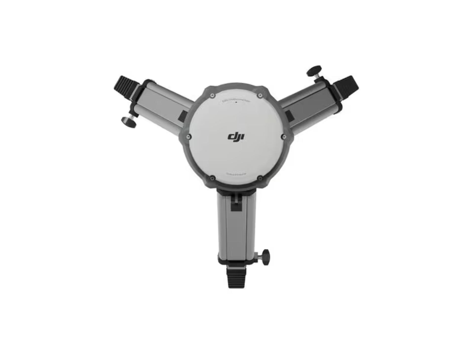
We advise you personally and configure the right system for your requirements.
{{ sub }}